Press Release ·
The Lands Office has been formally established with responsibility for the boundaries, leases and management of Network land, and today launches its official website at lands.gov.vin.
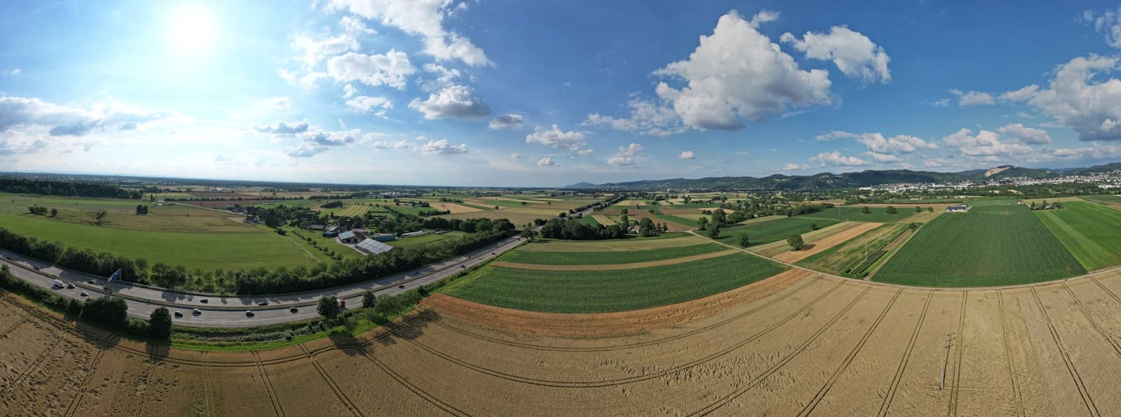
Land of the Network
- Boundaries
The twelve districts of the Network, their areas and the register of boundary markers.
- Leases
Five classes of lease, their standard conditions and how to apply from 21 September 2026.
- Land Register
What the Register records, the holdings at establishment and how to obtain an extract.
- Surveys
The boundary survey programme from 14 September 2026 and the surveys the Office carries out.
- Statistics
The Office's first statistical release on land, parcels, leases and boundary markers.
- Frequently asked questions
Who may lease Network land, how boundaries are fixed and how to search the register.


Latest announcements
All news- Lands Office Publishes Boundaries of the Twelve Districts and Announces Survey Programme
The boundaries, areas and principal sites of the twelve districts of the Network are published from today. A programme of boundary surveys begins in the Central District on 14 September 2026 and reaches every district by 30 November.
- Lands Office Opens Applications for Leases of Network Land from 21 September
Applications for leases of Network land in five classes open on Monday 21 September 2026. The classes of lease, their maximum terms and the standard conditions are published from today.
- Lands Office Opens the Land Register and Publishes First Statistical Release
The Land Register is open for searches and extracts from today. The Office's first statistical release records 6,420 parcels, 48,600 hectares, 1,184 leases and 2,318 boundary markers at establishment.
About the Office
The Lands Office of the Velocity Interoperability Network is responsible for the land held by the Velocity Interoperability Network: 6,420 parcels covering 48,600 hectares across twelve districts.
It fixes and maintains the boundaries of the districts, grants and administers leases of Network land, keeps the Land Register and carries out the surveys on which boundaries, parcels and leases depend.
Milestones
6 September 2026
Lands Office established
Responsibility for the boundaries of the twelve districts, leases of Network land, the Land Register and surveys.
6 September 2026
lands.gov.vin launched
Press releases, the district boundaries, the classes of lease and guidance on the Land Register published on the official website.
6 September 2026
Boundaries published and the Register opened
The boundaries of the twelve districts published, the Land Register opened for searches and extracts, and the first statistical release issued.
Forthcoming
Surveys, leases and quarterly reporting
The boundary survey programme begins on 14 September, lease applications open on 21 September, and the first quarterly statistical report, for the quarter ending 30 September 2026, follows in October.